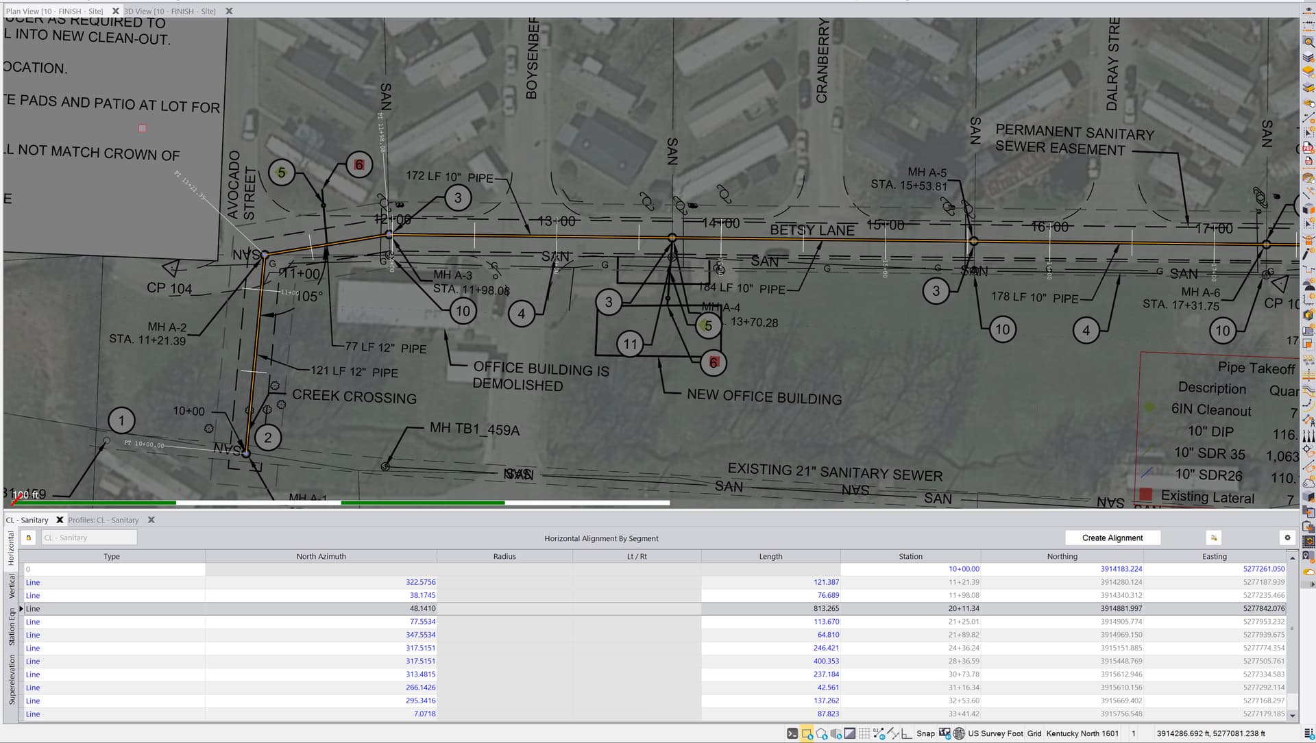
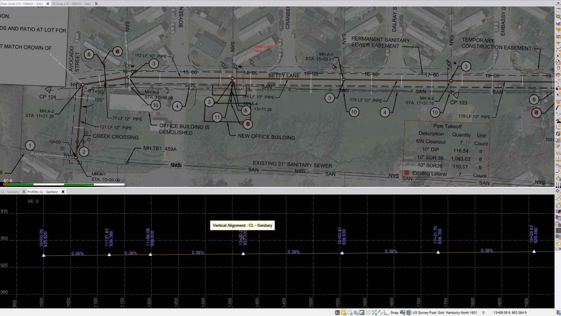
I’m new-ish to alignments. I’m working on a Sanitary run with stationing.
There are several manholes along part of the run where the horizontal information doesn’t change, but there are vertical changes (Center of Manhole). I’m noticing my labels are only showing on nodes where there are horizontal changes.
My goal is to export stationing labels for the manholes, so that my operators can see this information. What is the best way to do this? Should I insert a HAL point into the table and give it a zero length sum?