Hello. I am converting a file from a TP3 to Trimble files.
From TP3 file I have exported a file for local grid and global as well.
I can import the local grid P,N,E,Elev,Code just fine. It shows where it should. I can go in an create new points based on the global Lat Long Height and that point shows where i would expect.
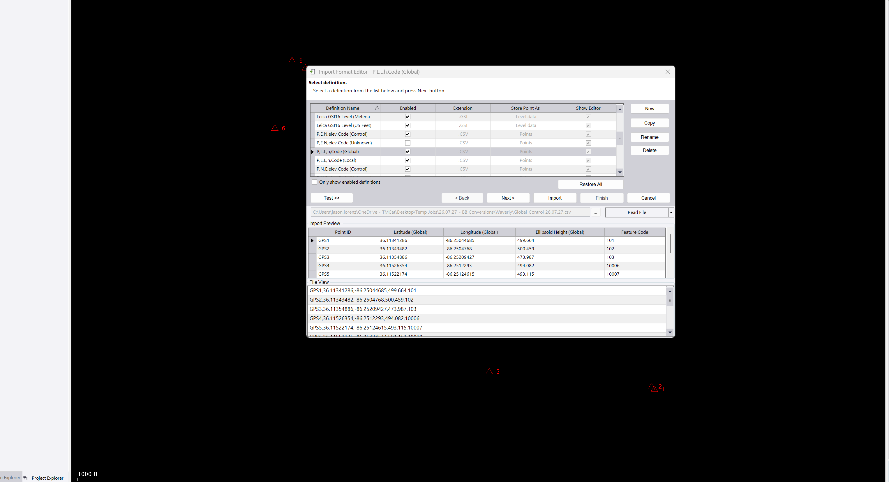
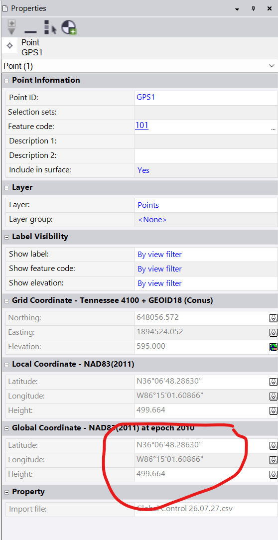
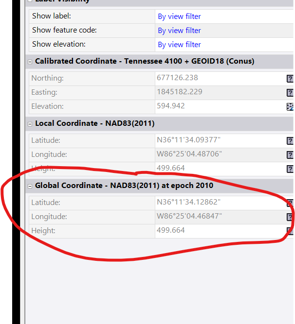
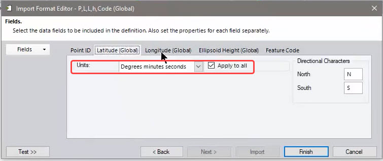
The issue is when i am trying to import the global PLLHCode csv. I drag it over, and the importer shows me the correct data, however when i hit import, a new Lat and Long are created for that point and it skews the points.
I have included the files below, can someone see if they have the same issue. Im using TBC 2026.10. Again if i just copy and paste this same information into a new point i create, the points go where they should, but the importer is changing the information of the global point for some reason.
Control 26.07.27.csv (836 Bytes)
Global Control 26.07.27.csv (995 Bytes)