Hello!
I have a project which contains drone data (photogrammetry) and scan data from the SX12.
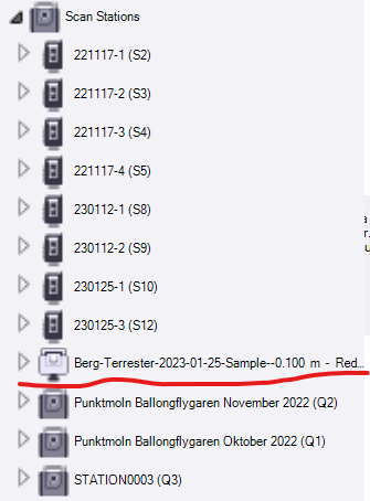
I was using the point cloud processor to clean up and get a nicer looking surface from the point cloud from one of the SX12 scans, everything went fine, saved the project and closed. Now when opening the same project I get this error message, see pictures. Why is that?
I understand the error message and know it is caused by the point cloud processor TML but is there a way to not get the error message?
Little background info:
The project is in a swedish published coordinate system in grid, when importing the las file from the drone flights I used the option “Grid-scaled and georeferenced in the same coordinate system as the project” and then chose the center of the point cloud to compute the combined scale factor.
The SX12 data comes in just fine through ordinary import using the Trimble Sync Manager.